
Mark by Andrew Shandy
Balloch → Cardross · 6.75 km · over the muir
John Muir Way, Section 1 · Three Lochs Way
Hillside cabins · hot tub · sauna · cold water barrel · fire pit
November/what you might see
Red squirrels working the mast under the beeches — the leaves being down is what lets you see one. One, if you are lucky, not a wood full of them. Woodcock in the wet wood at dusk, if you are quiet.
The morning · 11 November · first frost


Photos / Gill/ Film · Ben Santiago
Mist, beeches, and the whole loch beneath you.
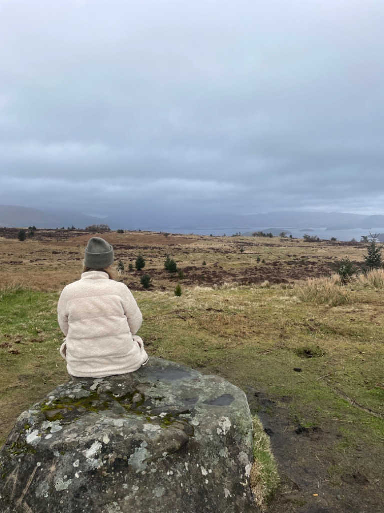
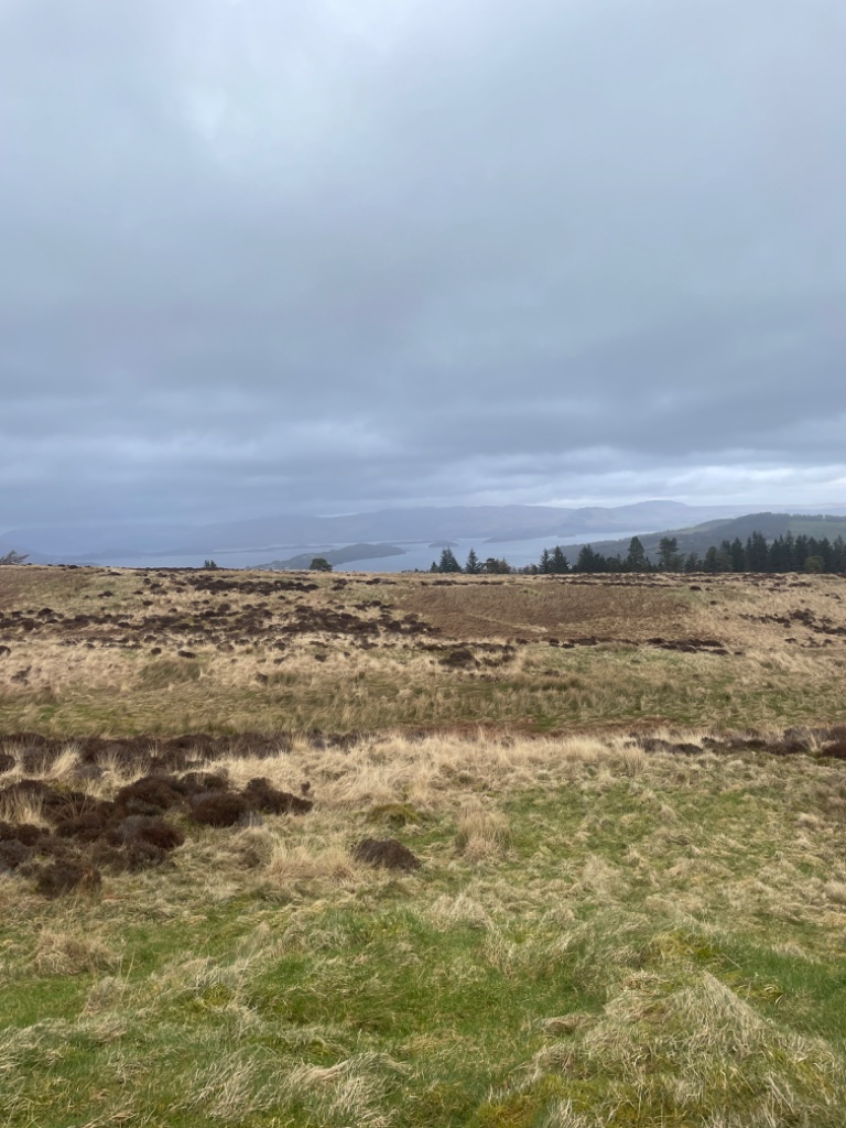
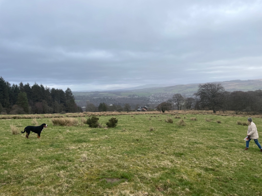
The John Muir Way crosses the muir above the cabins — six and a half kilometres of it, the loch the whole way to Ben Lomond, a minute from the door.
A king died in the parish below. A queen of five sailed for France six miles down the vale. The island in front of you was raided for its cattle. None of it is scenery.
Up the hill · John Muir Way / Film · Ben Santiago
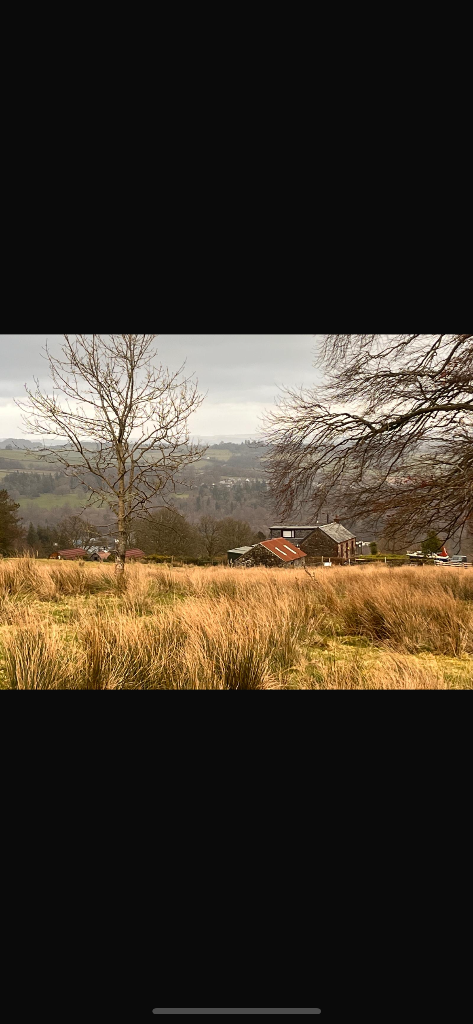
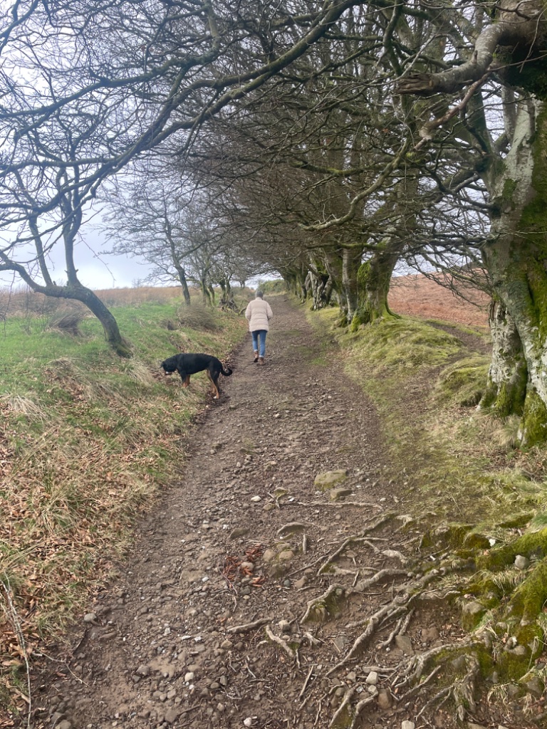
Up on the John Muir Way — the hill path that climbs straight off the top of our own drive.
01/The path that carries his name
John Muir, and the way over the muir
John Muir was born in Dunbar on 21 April 1838 and left Scotland for Wisconsin at eleven. He walked, he wrote, he founded the Sierra Club, and he argued to the end of his life in 1914 that wild ground is worth more standing than sold.
In April 2014 a path of 134 miles was opened between Helensburgh on the Clyde and Dunbar on the North Sea, and named for him. Its first section is this one: Helensburgh, over Stoneymollan Muir, down into Balloch — nine miles or so, and the stretch above these cabins is part of it.
No record says he ever walked it. The road was old before his name went on it: the coffin road it follows had been carrying people across this muir for centuries. That is the better story anyway — a memorial laid over a route worn in long before anyone thought it worth naming.
John Muir Way · John Muir Birthplace Trust
02/What the hill looks over
Up the loch to Ben Lomond
The hill stands above the west shore at the south end of the loch, and from the top the ground falls away and the water opens: Ben Lomond at the head of it, 974 metres, the most southerly of Scotland’s Munros.
What you are looking along is a line. The Highland Boundary Fault runs across the loch through the islands in front of you — Inchcailloch, Torrinch, Creinch, Inchmurrin — and on out to Ben Bowie. North of it is the Highlands and south of it is the Lowlands, and this hill sits on the break between the two. It is why the ground under you is what it is, and why a road crosses here at all.
At the foot of the loch, below the hill: Balloch Castle. The Earls of Lennox built the first one here about 1238 and later moved their seat out to Inchmurrin. The house standing now was built in 1808 for John Buchanan of Ardoch, to plans by Robert Lugar, and the park around it is the one you walk down through into Balloch.
Historic Environment Scotland · Canmore · Worsley, Loch Lomond (1988)
03/The island in front of you
Inchmurrin
Inchmurrin is Eilean Mhirin — St Mirin’s island, named for the man who carried the faith up the Clyde. It is the largest island in the loch, and the largest freshwater island in Britain and Ireland. From the top of the field you can count the trees on it.
Its castle was built for the Earls of Lennox and finished by 1393, standing inside a deer park Robert the Bruce is said to have laid out nearly a century before. The family had held the ground at Balloch since the eleventh century; this was the seat they moved out to — an island in the middle of their own water.
In 1425 James I executed her husband, her father and two of her sons, and Isabella, Countess of Lennox, went to live in that castle and took her grandchildren with her. It was about the last ground the family had left to go to.
James VI came over to hunt in August 1585, while plague was in Edinburgh, and again in 1617 on his only return to Scotland. The Duke of Lennox wrote ahead that year asking the keeper of the island for food for “a good nombre of sharpe stomaches”.
Rob Roy’s men took the cattle off it — the loch’s historians record that they held every boat on the Endrick and the loch to do it. Railing an island takes more planning than raiding a road, which is likely why it is still being told three hundred years later.
The ruin is still in the trees and the island is still worked. From up here it is the first thing you look at in the morning and the last thing you lose when the light goes.
Canmore · Historic Environment Scotland · Worsley, Loch Lomond (1988)
04/Who was near, and how near
Kings, raiders, and a queen five years old
This is a small hill in a small country, and most of Scotland’s history happened within a few miles of it rather than on it. No record puts any of the people below on this road. What follows is where they actually were and how far that is from here — because a claim you can check is worth more than one that sounds good.
- Robert the Bruce1274 – 1329
Died on 7 June 1329 at his manor of Cardross. The old parish of Cardross ran across this hill, and its church — St Serf’s, by the Leven at Dumbarton — is where his embalmed organs were buried. Nobody has ever established exactly where the manor stood. Five or six miles south of here, over the hill.
- William Wallaced. 1305
Taken to Dumbarton Castle on 3 August 1305, after his capture at Robroyston, and held there before being shipped south to his trial and his death at Smithfield on 23 August. Six miles down the vale from this hill; the rock it stands on is at the mouth of the Leven, below the loch.
- Duncan, 8th Earl of Lennoxd. 1425
His castle on Inchmurrin, finished by 1393, looks straight back up the loch at this hill. The Lennox family had held the ground at Balloch since the eleventh century, and the execution of 1425 took it from them.
- Isabella, Countess of Lennoxd. after 1425
Went to live in that castle on Inchmurrin — the island in front of you — after James I executed her husband Murdoch, Duke of Albany, her father Duncan, Earl of Lennox, and two of her sons. She took her grandchildren with her.
- Mary, Queen of Scots1542 – 1587
Five years old when she was moved to Dumbarton Castle in February 1548, and five when she sailed from there to France on 7 August, out of reach of the English. Six miles down the Leven from here.
- Rob Roy MacGregor1671 – 1734
A cattle raider who worked hills like these. The loch’s historians record that he raided Inchmurrin, and that his men came to hold every boat on the Endrick and the loch in order to take the cattle off the island; the raid itself is not dated. He fought at Sheriffmuir on 13 November 1715.
- Tobias Smollett1721 – 1771
Born at Dalquhurn, three miles west, and raised beside Cameron House. He wrote that he had seen Garda, Albano, Nemi, Bolsena and Geneva, and “upon my honour I prefer Loch Lomond to them all.”
- James VI1566 – 1625
Hunted on Inchmurrin in August 1585, while plague was in Edinburgh, and again in 1617 on his only return to Scotland. The Duke of Lennox wrote ahead that year asking the keeper of the island for food for “a good nombre of sharpe stomaches”.
- John Muir1838 – 1914
Born in Dunbar, emigrated at eleven, and spent the rest of his life arguing that wild ground is worth more standing than sold. No record connects him with this hill. Since 2014 the path over it carries his name.
Historic Environment Scotland · Canmore · Oxford Dictionary of National Biography · Worsley, Loch Lomond (1988)
05/The argument the road ran through
Independence
The earl who held this ground went with Bruce. Malcolm of Lennox had marched on Carlisle with him in 1296, and on 23 and 24 June 1314 he led his Lennox men at Bannockburn, about twenty-five miles east of here, where Bruce broke Edward II’s army. The deer park the same king kept on Inchmurrin — the island in front of you — was his hand on this water.
On 6 April 1320 the Declaration of Arbroath was sealed. In 1328 England recognised Scotland as independent, and Bruce died the next year five or six miles south of this hill, at Cardross.
On 1 May 1707 the Act of Union ended it. On 18 September 2014 Scotland was asked again and answered No, 55.3 to 44.7, on a turnout of 84.6 per cent — the highest in the United Kingdom since 1910.
And the hill was not a spectator in that one. The council area it stands in, West Dunbartonshire, was one of only four in the country that voted Yes, with Dundee, Glasgow and North Lanarkshire, on the same day most of Scotland did not.
The song everybody knows belongs to this argument too. “Ye’ll tak the high road and I’ll tak the low road” is usually explained as a Jacobite prisoner’s last words — the high road home for the living, the low road for the dead — and nobody actually knows whether that is right. The song was printed without a gloss and the story came later. It is sung in every language now regardless, which is the most Scottish outcome available.
None of it was settled on this hill. But this was the kind of road such things were carried along, and the people who walked it stood on every side of every one of those arguments.
Bannockburn, 1314 · Declaration of Arbroath, 1320 · Treaty of Edinburgh–Northampton, 1328 · Electoral Commission, 2014
06/Why the road is still here
A road nobody watched
The muir road is empty, and has been for a long time. That is what made it useful. Cattle came off Inchmurrin by boat and went over hills like these; the old ways went where nobody was watching.
It is also why the road survives. A route that carried nothing worth improving for most of its life was never widened, metalled or straightened, and so it stayed a path. The beeches and the cross stone are still roughly where they were set.
07/The door next to ours
Cameron House and the Smolletts
Cameron House keeps a fourteenth-century castle inside a nineteenth-century mansion, on the shore two miles south of here. The ground was the Earls of Lennox’s first, then the Dennistouns of Colgrain’s and the Charteris family’s; the Smolletts held it for generations after.
Tobias Smollett was entertained at the house by his cousin James in 1766. James Boswell and Samuel Johnson stayed the night there in 1773, on their way to the Hebrides.
Cameron Wood — the one at the bottom of the garden, with the two cairns in it — is on the old Cameron home farm ground, which reaches up this hill.
Historic Environment Scotland · Boswell’s Journal of a Tour to the Hebrides, 1773
08/What the road is
The coffin road
Balloch, over the muir, down to the clachan of Kirkton and St Mahew’s Chapel at Cardross: four or five miles, walked by the bearers with the coffin shouldered between them.
Feet first, so the spirit could not turn back for home. The coffin was never set down on the ground. Streams cross the route the whole way along, because running water was said to stop a spirit following.
Two long-distance paths carry it now, the Three Lochs Way and the John Muir Way — which is why a road built for the dead is walked by thousands of the living every year.
Helensburgh Heritage Trust · ScotWays heritage path record
09
The Cross Stone Road
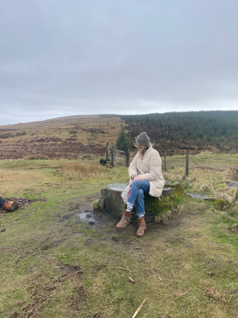
That was its name in the nineteenth century, because there was a stone cross at the high point of the path, where the bearers set the coffin down and rested.
The base of it is still at the roadside. The cross itself is thought to have gone missing around 1880.
10
The beeches
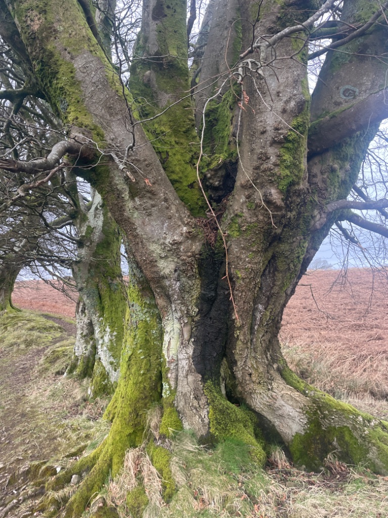
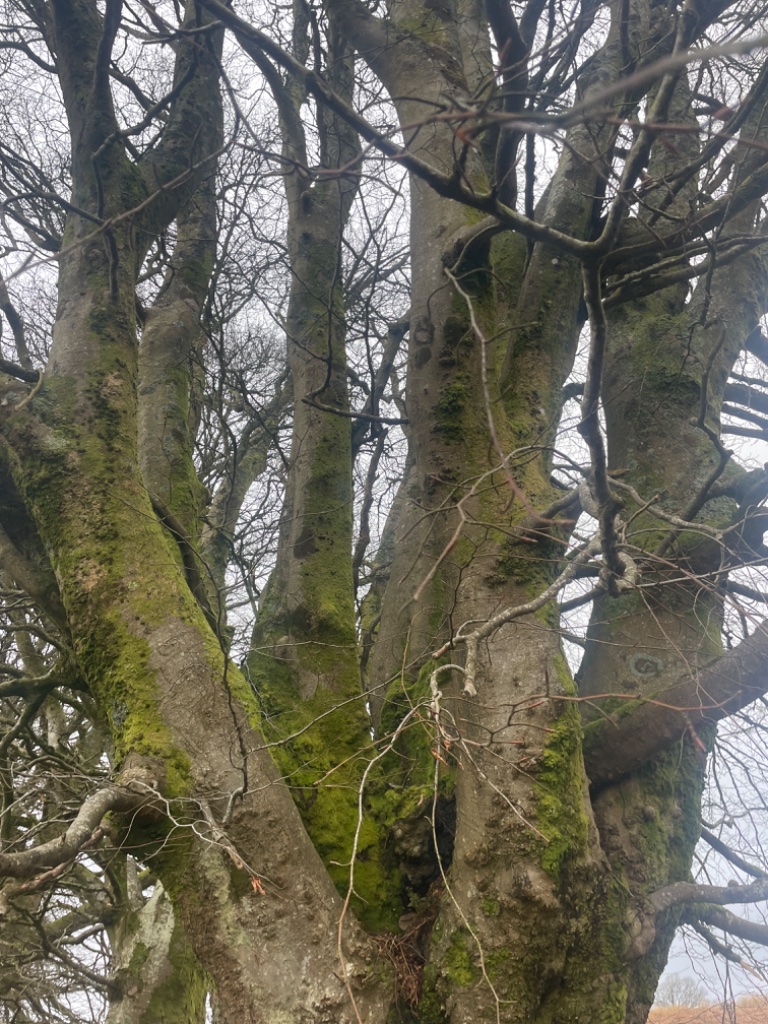
The avenue of beeches along the route is reckoned two to three hundred years old — planted to line the way, the trunks deep in moss now, framing the path like a nave.
11/The bottom of the garden
Two cairns in Cameron Wood
Cameron Wood is the one at the bottom of the garden, and there are two old cairns in it. Both are older than the coffin road by a few thousand years.
The lower one is Round Hill: an earth and stone mound thirty metres by twenty, two and a half metres high, with white quartz still pushing up through the soil. It sits about 110 metres above the sea, and from the top of it you look straight up the loch to Ben Lomond.
The upper one is a Neolithic chambered long cairn, laid east-southeast to west-northwest. It was opened about 1800, and stone arrowheads and bone were found in some of the twenty to twenty-five graves lying in its two rows. A cup-marked boulder sits by a tree at the edge of it. One stone cist survives.
It had been robbed long before that, and nobody has looked after it since: most of it is gone, and the forestry is planted over what is left. One of the oldest things in this parish, and the least looked after.
There are two ways up to it. The path runs through the plantation — the same line the coffin road takes — and comes out above the trees onto the muir, a couple of hundred metres of it. When the foresters are working, you go round the outside along the field edge instead and pick the track up again above the wood.
Canmore · New Statistical Account, 1845 · Megalithic Portal
12/What people say
The strike
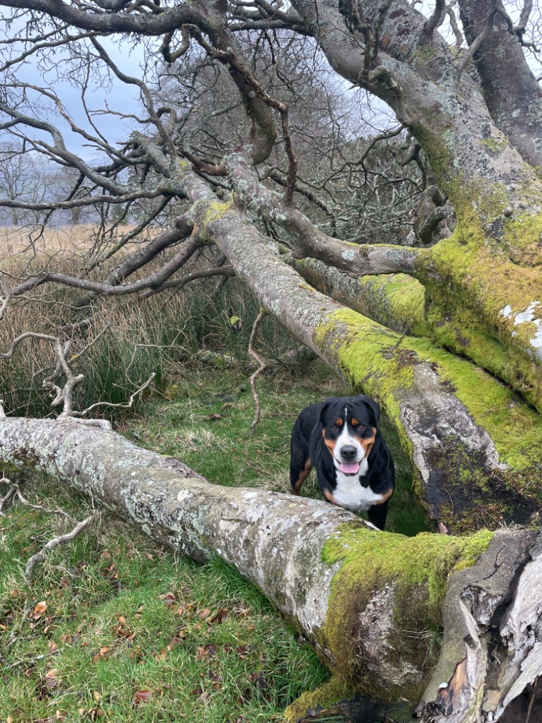
A tree in that wood took a lightning strike. It stands split down the length of it, and people who walk there stop at it.
The cairns, the cross stone and the strike are said to sit on a ley line — a straight line drawn between old places, the kind a dowser finds with a rod. Nothing has ever measured one, and this record says so rather than dressing it up.
What is true is that people have been drawing lines between these places for a very long time, and that this hill carries more old marks on it than most.
The wood is not empty
What lives here
This hill is not quiet. It is busy at a smaller size.
Red squirrel
Back in Balloch park after more than fifty years away. You hear one before you see it — scrabbling in the canopy, then a russet blur going round the far side of a trunk.
Roe deer
In the long grass at the top, at first and last light. Usually a shape you half-see and then doubt.
Badger and fox
The field edges, after dark. The wood is at its busiest when there is nothing to see.
Otter
The Leven below the loch, and the shallows at the foot of it.
Osprey
Over the loch from the last week of March into September, fishing. Big, slow wingbeats, and then a dive. The park authority’s own window, not a guess.
In summer the west-coast oakwoods fill with wood warbler, redstart and pied flycatcher — birds that have almost nowhere else left in Britain. Loch Lomond’s woods are among the most important in Europe for mosses and lichens, this wet west-coast woodland being as rare a thing as it is unglamorous. That wood is this hill: the loch straight below it, and the rain that makes it what it is.
Underneath
Almost every tree on this hill is in partnership with a fungus. Threads finer than a hair run out through the soil into the roots, and trade water and minerals for the sugar the tree makes in the sun. The trees really are joined up — that part is settled. Whether the old ones are deliberately feeding the young ones through it is still being argued over by the people who study it, so this page won’t tell you they are.
Scottish Wildlife Trust · RSPB Scotland Loch Lomond · NatureScot · Loch Lomond & Trossachs National Park Authority · The Clydesider, 2022
The year here
Twelve months on this hill
What a normal month looks like up here, from the people who live on it. Pick a month and read what it does.
November · on the hill
Red squirrels working the mast under the beeches — the leaves being down is what lets you see one. One, if you are lucky, not a wood full of them. Woodcock in the wet wood at dusk, if you are quiet.
Underfoot
Beech leaves down, the avenue showing its bones again. Wood blewit and clouded agaric in the litter, in a mild one.
A normal month, not a promise. The hill does not read the calendar, a warm week moves everything by a fortnight, and a lot of this is one animal on a good morning. You can walk the whole hill and see none of it.
If you pick: take a little and leave the rest. Never dig a plant up. And never eat a mushroom you are not certain of — on this hill that last one matters more than the other two.
The places
Getting here
Two ways up. The train to Balloch and a lift for the last mile and a half — or nine miles over the muir on the John Muir Way, with the whole loch under you at the end.
Air
Glasgow airport
About twenty-five minutes by car, then the A82 up the side of the loch.
Air
Edinburgh airport
About an hour and a quarter. The longer road, and the better one once it reaches water.
Rail
Glasgow Queen Street
About fifty minutes on the North Clyde line. Balloch is where the rails run out.
Rail
Balloch
The last stop. Village behind you, the loch in front of you.
Road
The roundabout
Turn off here onto Stoneymollan Road. Straight on takes you up the loch and away from the hill.
Road
The climb
A mile and a half, and it climbs the whole way: past the last houses, then narrow between the trees. No pavement up here, and no lights on the last of it.
Here
Stoneymollan
The cabins, the fire pit, and the whole loch under you.
Driving times are the house’s own. Nine miles and four hours are the John Muir Way’s. The mile and a half is the road’s own measure. Timetables move — the machine below reads today’s.
Why this way
Balloch
Rail
The end of the line, which is the whole argument. Queen Street in about fifty minutes, then the rails stop at the water — there is nothing to miss and nowhere to overshoot.
The hill road
Road
Only one goes up. Off the roundabout onto Stoneymollan Road and climb: a mile and a half, past the last houses, then narrow between the trees.
Over the muir
Foot
The first nine miles of the John Muir Way run past the foot of the drive, the Three Lochs Way alongside. Four hours from Helensburgh, and the whole loch under you the way up.
The way in, worked out
Where you’re coming from, and when.
A city, an airport, a station, a postcode — and the hour you land. It reads today’s trains and flights and gives you the ways in, with what to check before you set off.
The last mile and a half
Ring us — we are at the top of the road+44 7494 023328Ring before you leave the station. If we can come down for you, we will. If we cannot, we will say so straight and tell you what to do instead.
If you are coming on your own
Nobody up here will trouble you.
- After dark, get a lift up from the station rather than walking it. The last of the road has no pavement and no lights, and it is uphill the whole way.
- Ask for Stoneymollan Road and “all the way to the top” rather than the postcode — one hill postcode covers a great deal of hillside.
- Send your “I’m here” message from the village, and tell somebody at home you have got in. Easier from the foot of the hill than the top of it.
- The place is yours once you are in it. Nobody comes to the door unannounced, whatever time you arrive.
The way that earns it
Over the muir, on foot
The path leaves the road at the end of our tree-lined drive — the John Muir Way and the Three Lochs Way running together over the muir above the cabins.
Helensburgh to Balloch is nine miles, about four hours, and it comes down off the muir by the old coffin road with the loch under you the whole way down. A better way to see it than through a windscreen.
Not to scale · the shape of it, not a survey
The real road, from the Balloch roundabout up to Upper Stoneymollan. The cabins are off it · we send the gate when you book.
Open the road on OpenStreetMapEvery word here reads in your own language — the tongue button at the top of the page.johnmuirway.org
Over Loch Lomond · Brian & Gillian
Two cabins, up on the hill this road runs over.
Wood-fired hot tub.
Wood-fired sauna.
Cold water barrel.
Fire pit, under the stars.
A view that turns all the way round.
Mist in the morning, stars at night, and nothing at all between you and the hill. The John Muir Way and the Three Lochs Way start at the end of our tree-lined drive.
2 hillside cabins/hot tub/sauna/cold barrel/360° views/stargazing
“This place is unreal. It is almost beyond words how special it is.”
Ben, Ibiza · July 2024 · 10/10
Glasgow airport, 25 minutes. Edinburgh, an hour and a quarter. We will fetch you from the station if we can — ring us on +44 7494 023328 and we will tell you straight.
A cabin, a fire, and a hill that does as it likes. No bar, no lobby, nobody on call. If you are after a hotel, we are the wrong door — and we would rather tell you that here than have you find it out up the track.
Straight to us, not a platform. What they take stays on the hill.